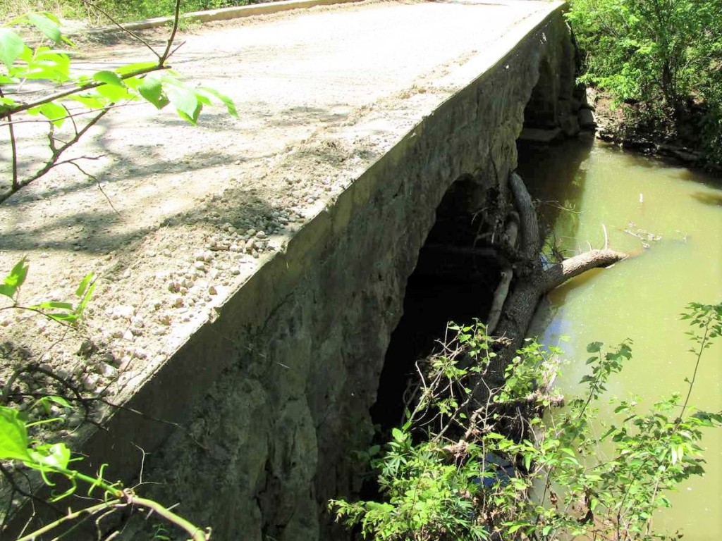
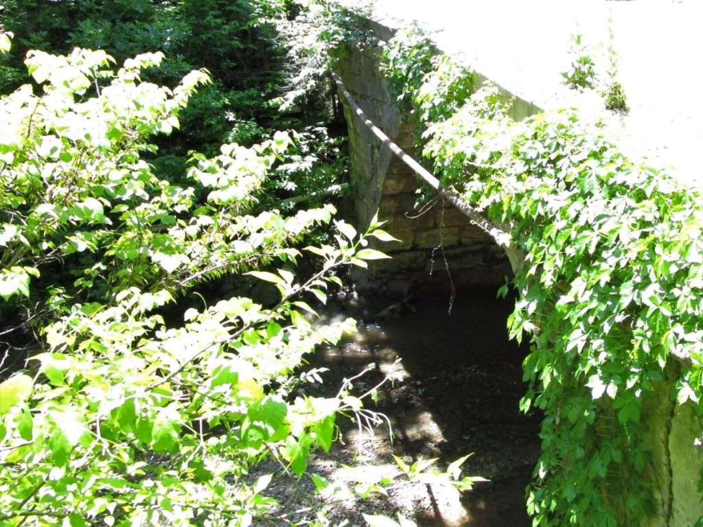
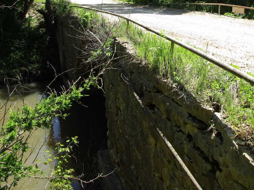
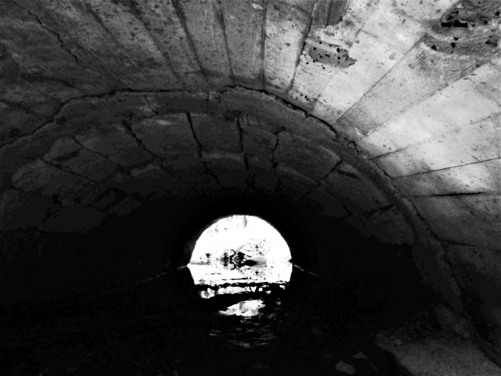
We have updated our Cowley and Butler stone arch bridge maps to enhance their user-friendliness. Now, these maps not only show the stone arch bridges of these two Kansas counties, but are color-coded to give visitors a clear idea of what to expect when looking for a given bridge. We use color codes that are clearly defined at the top of the map to designate various bridges. So, for instance, while green is your basic stone arch bridge, orange is a stone arch bridge widened on one side with some other type of structure. Red is a bridge widened on both sides (this includes a cantilevered slab placed on top of a bridge) while black is a bridge left high and dry. Blue is a stone arch access culvert (two of which we found recently in Butler County), and purple represents the stone/concrete composite arch bridges reminiscent of the Otter Creek Bridge in Greenwood County. We have found several of this category near Dexter in Cowley County.
![](https://stonearchbridges.com/wp-content/uploads/2023/12/butler-county-stone-arch-bridges2.jpg?w=1024)
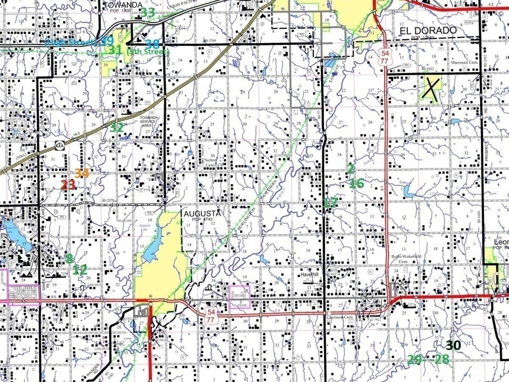
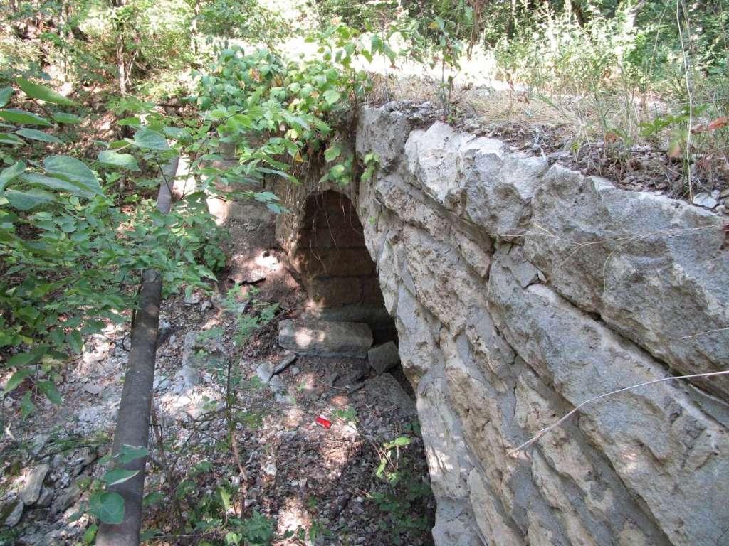
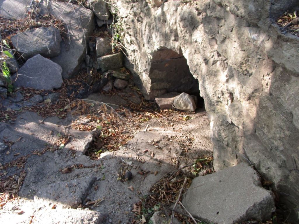
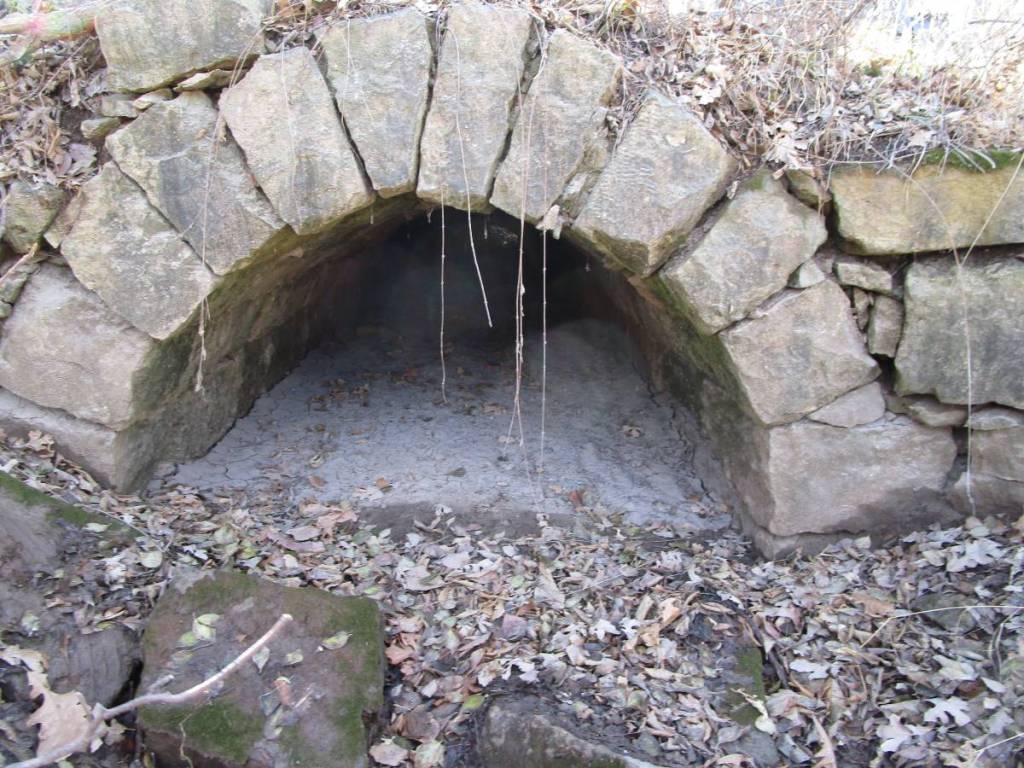
Another new feature is that culverts and bridges are differentiated on our maps; the lower bridge numbers are for true stone arch bridges while higher numbers are for culverts. We have added information onto each map to make it clear which numbers are culverts as opposed to bridges.
![Turkey Creek Bridge](https://stonearchbridges.com/wp-content/uploads/2021/01/img_1007.jpg?w=1024)
![Hill Bridge](https://stonearchbridges.com/wp-content/uploads/2021/01/img_1969.jpg?w=1024)
![Upstream face Wilson Bridge](https://stonearchbridges.com/wp-content/uploads/2021/07/img_4665.jpg?w=1024)
![Cave Spring Branch Turkey Creek Bridge](https://stonearchbridges.com/wp-content/uploads/2021/01/img_0975.jpg?w=1024)
![Abe Matheney's 1897 Turkey Creek Bridge](https://stonearchbridges.com/wp-content/uploads/2021/01/img_0957.jpg?w=1024)
![SW Diamond Road Stone Culvert](https://stonearchbridges.com/wp-content/uploads/2021/10/img_4779-2.jpg?w=1024)
![Little Walnut/Logan Township Line SE120th Road Culvert](https://stonearchbridges.com/wp-content/uploads/2022/09/img_5832.jpg?w=1024)
![Little Walnut/Logan Township Line SE120th Road Culvert (2)](https://stonearchbridges.com/wp-content/uploads/2022/09/img_5857.jpg?w=1024)
![](https://stonearchbridges.com/wp-content/uploads/2022/09/img_5859.jpg?w=1024)
![5th Street Towanda Culvert](https://stonearchbridges.com/wp-content/uploads/2022/10/img_5863.jpg?w=1024)
![Towanda Township Fulton Road Culvert](https://stonearchbridges.com/wp-content/uploads/2022/10/img_5870.jpg?w=1024)
![10th Street Towanda Township Culvert](https://stonearchbridges.com/wp-content/uploads/2022/11/img_6024.jpg?w=1024)
![Augusta/Towanda Township Line Culvert](https://stonearchbridges.com/wp-content/uploads/2022/12/img_6197.jpg?w=1024)
![20th Street Access Culvert](https://stonearchbridges.com/wp-content/uploads/2023/12/img_7996.jpg?w=1024)
![Towanda High Street Access Culvert](https://stonearchbridges.com/wp-content/uploads/2023/12/img_7998.jpg?w=1024)
We hope this makes our maps easier to use. The list of bridges is still provided after the maps for those wanting more details, but now users of the map can more easily find what to look for at a glance; for instance some of the bridges widened on both sides are easily overlooked.
Hopefully, users will find more enjoyment and use out of these maps, and for those wanting to hit the road and see the stone arch bridges, we think the new color-coded maps will be of great service.