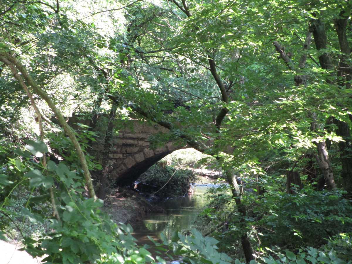
For the aid of those who wish to tour the picturesque and famous publicly accessible, vehicular stone arch bridges of Cowley County, Kansas, we have compiled a color-coded map of the known stone arch bridges and culverts in the county. The bridges are shown on the map with the aid of a number. For aid in reference, on the list below the number we used to depict a given bridge on the map will be clearly stated. Please note that this list is updated as more stone bridges turn up, and that numbers 1 through 16 are the standard, well-known Cowley stone bridges on the public roads, while numbers 17 and up are bridges we found through research and exhaustive survey of the roads. At the end of the list are some noteworthy privately owned stone arch bridges.
Please note that a stone arch bridge (#1) and a stone arch culvert (#20) were recently demolished; the former locations of these structures are depicted on the map with a red X through the number.
Note: Please no trespassing. To the best of our knowledge, the listed bridges are publicly accessible. In case of questions or problems feel free to contact us. Bridges difficult to photograph (such as the Bridge North of Dexter) can be photographed with the aid of a “selfie stick.”
A List of the Existing Stone Arch Bridges on the Roads of Cowley County, Kansas
This list, which can be used in conjunction with the map above, is composed of the known existing stone arch bridges on the roads of Cowley County, Kansas. On the list below we have called the bridges their original names where possible followed by the names they are more commonly known by.
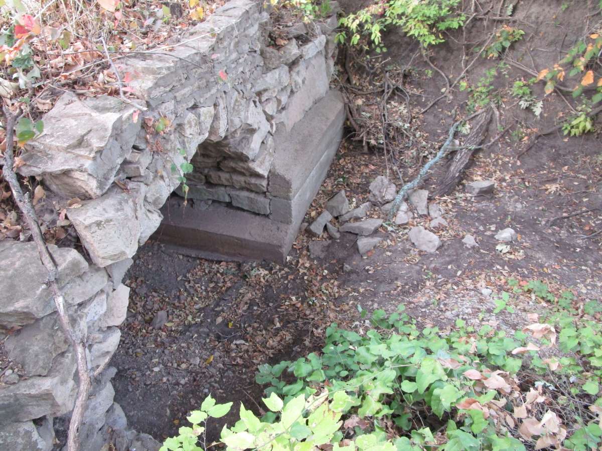
Recently Demolished: #1 Kirk Bridge/Pudden Bridge/Esch’s Spur Bridge

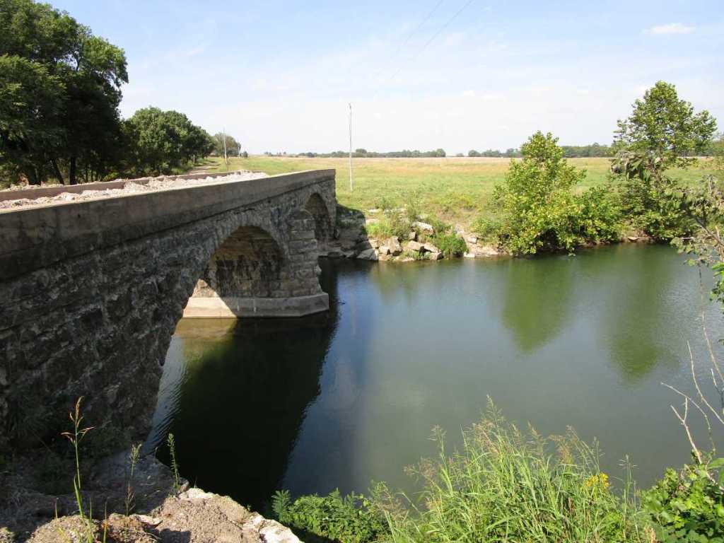
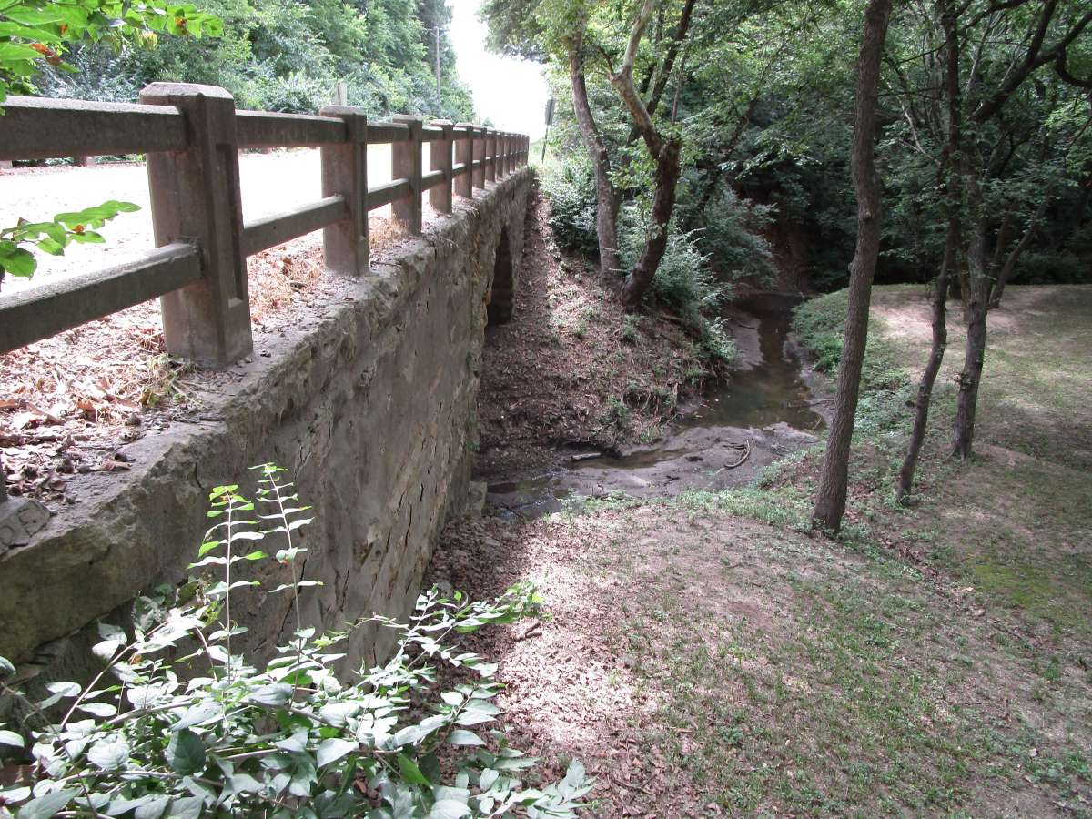
Neer Bridge
- Where: Spanning Grouse Creek on 275th Road near Cambridge.
- Built By: Walter Sharp & Son (Replaced previous stone arch bridge built by Andy Cook).
- When: 1916 (Replaced previous stone arch bridge begun in 1913).
- Further Resources: The Story of the Neer Bridge in Cowley County, Kansas, Two Obscure but Revealing Cowley Bridge Plaques.
- Map Number: 2.

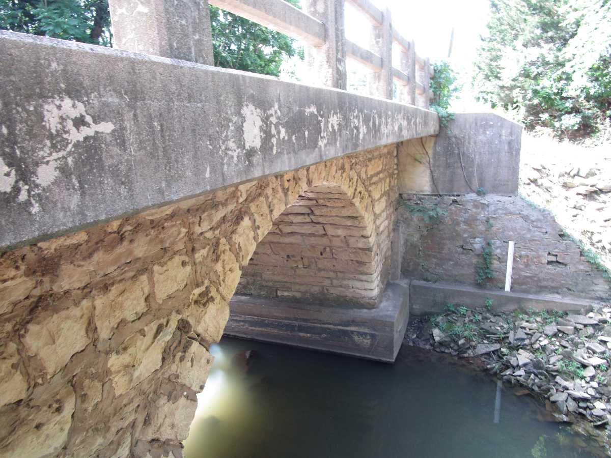
Rock Creek Bridge
- Where: Spanning Rock Creek on 22nd Road near Rock, Kansas.
- When: 1909.
- Built By: Walter Sharp.
- Further Resources: See the reference to this bridge in Major Update on Pudden/Esch’s Spur Bridge.
- Map Number 3.

Jordan Bridge/Andes Bridge
- Where: Spanning Silver Creek on 192nd Road near Winfield.
- Built By: Walter Sharp.
- When: 1909.
- Further Resources: Andes Bridge.
- Map Number: 4.
Fromm Bridge
- Where: Spanning Grouse Creek on 275th Road near Cambridge.
- When: 1917.
- Map Number 5.

George Steele’s Bridge/Muret Bridge
- Where: Spanning Silver Creek on 232nd Road near Winfield.
- Built By: Walter Sharp.
- When: 1904.
- Map Number 6.
Huston Bridge/Crab Creek Bridge
- Where: Spanning Crab Creek on 223rd Road near Dexter.
- Built By: Walter Sharp.
- When: 1915.
- Map Number 7.

Silliman Bridge/Badger Creek Bridge
- Where: Spanning Badger Creek on 121st Road near Winfield.
- When: Contract let December 1908.
- Built By: Walter Sharp.
- Map Number 8.

Floral Bridge
- Where: Spanning Timber Creek on 92nd Road near Floral.
- Built By: Walter Sharp.
- When: 1906.
- Further Resources: The Floral Bridge.
- Map Number 9.

Snodgrass Bridge/Timber Creek Bridge
- Where: Spanning Timber Creek on 231st Road near Atlanta.
- Built By: “Doc” Daniel Smith.
- When: Contract awarded in 1915.
- Further Resources: Two Obscure but Revealing Cowley Bridge Plaques.
- Map Number 10.

Olmstead Bridge/Stewart Bridge
- Where: Spanning Stewart Creek on 51st Road near Udall.
- Built By: Jerry Hammond.
- When: 1904.
- Map Number: 11.
Dr. Snyder’s Bridge
- Where: Spanning Spring Creek on 262nd Road near Arkansas City.
- When: 1935.
- Built By: Floyd Hill & E. V. Cypert.
- Map Number: 12.
Black Crook Creek Bridge
- Where: Spanning Black Crook Creek on Joel Mack Road, just outside of the south edge of Winfield.
- When: 1908.
- Built By: Walter Sharp.
- Map Number: 13.
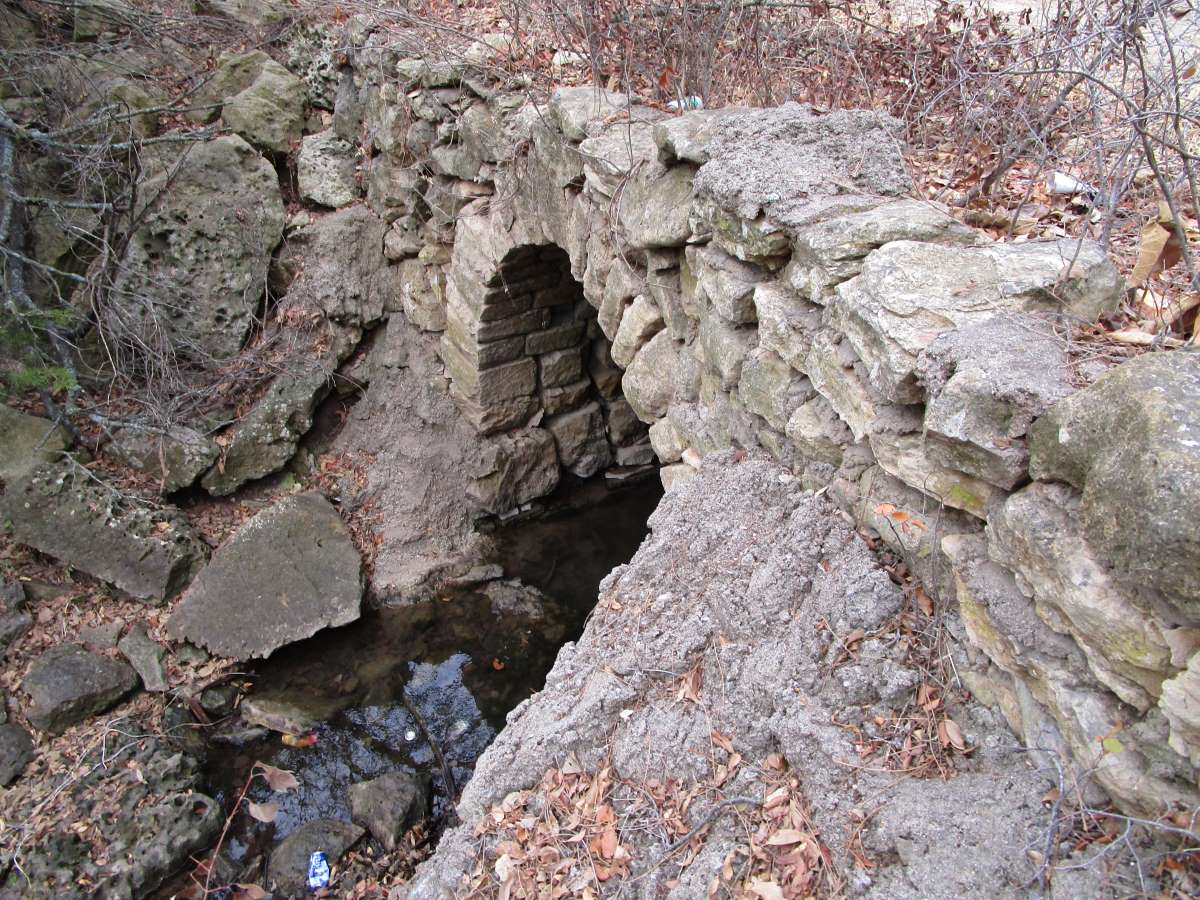
Bridge North of Dexter
- Where: Spanning a small stream on 241st Road just outside of the north edge of Dexter.
- Map Number: 14.

Chase Bridge/Thompson Bridge
- Where: Spanning a branch of Badger Creek on 182nd Road near Winfield.
- Built By: Jerry Hammond.
- When: 1906.
- Further Reading: The Thompson Bridge.
- Map Number: 15.

Stalter Bridge
- Where: Spanning the Stalter Branch of Rock Creek on 101st Road near Rock.
- Map Number: 16.
- Further Resources: Cowley’s Stalter Bridge.

Plum Creek Bridge
- Where: Spanning Plum Creek on 271st Road near Dexter.
- Built By: Lew Welch
- When: 1908
- Map Number: 17.
- Further Resources: Three New Additions to the Cowley County Stone Bridge List.

Plum Creek Branch Bridge
- Where: Spanning a branch of Plum Creek on 271st Road near Dexter. (This bridge is a short distance south of the Plum Creek Bridge above; these bridges are within sight of each other, though they are separate structures.)
- Map Number: 18.
- Further Resources: Three New Additions to the Cowley County Stone Bridge List.

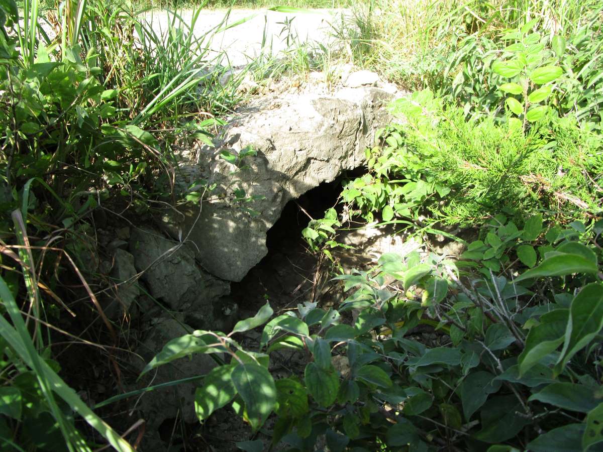
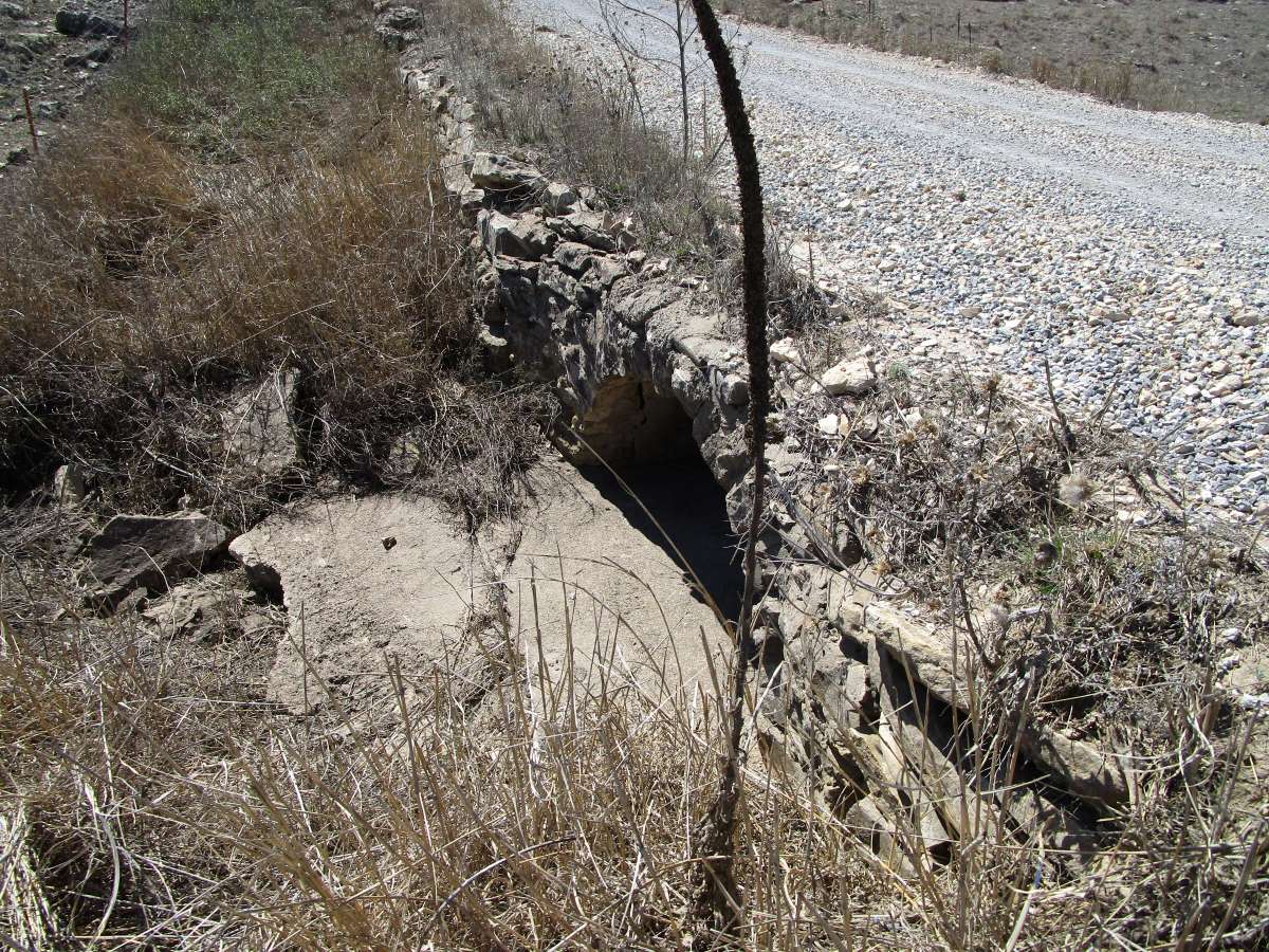
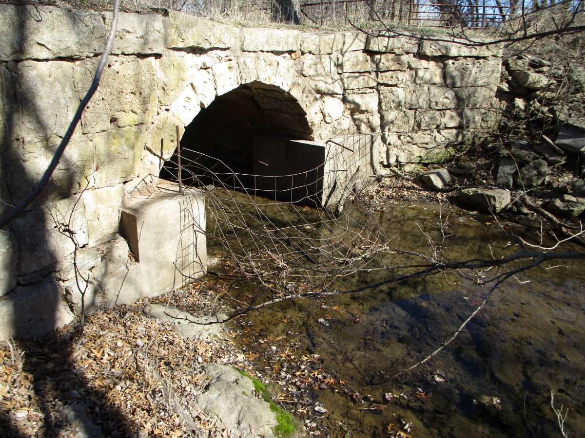
Dexter Township 182nd Road Culvert
- Where: Spanning a small, normally dry channel on 182nd Road, about halfway between 182nd’s intersections with 271st Road and 291st Road near Dexter.
- Map Number: 19.
- Further Resources: Three New Additions to the Cowley County Stone Bridge List.
- Note: This culvert has been widened on one side.
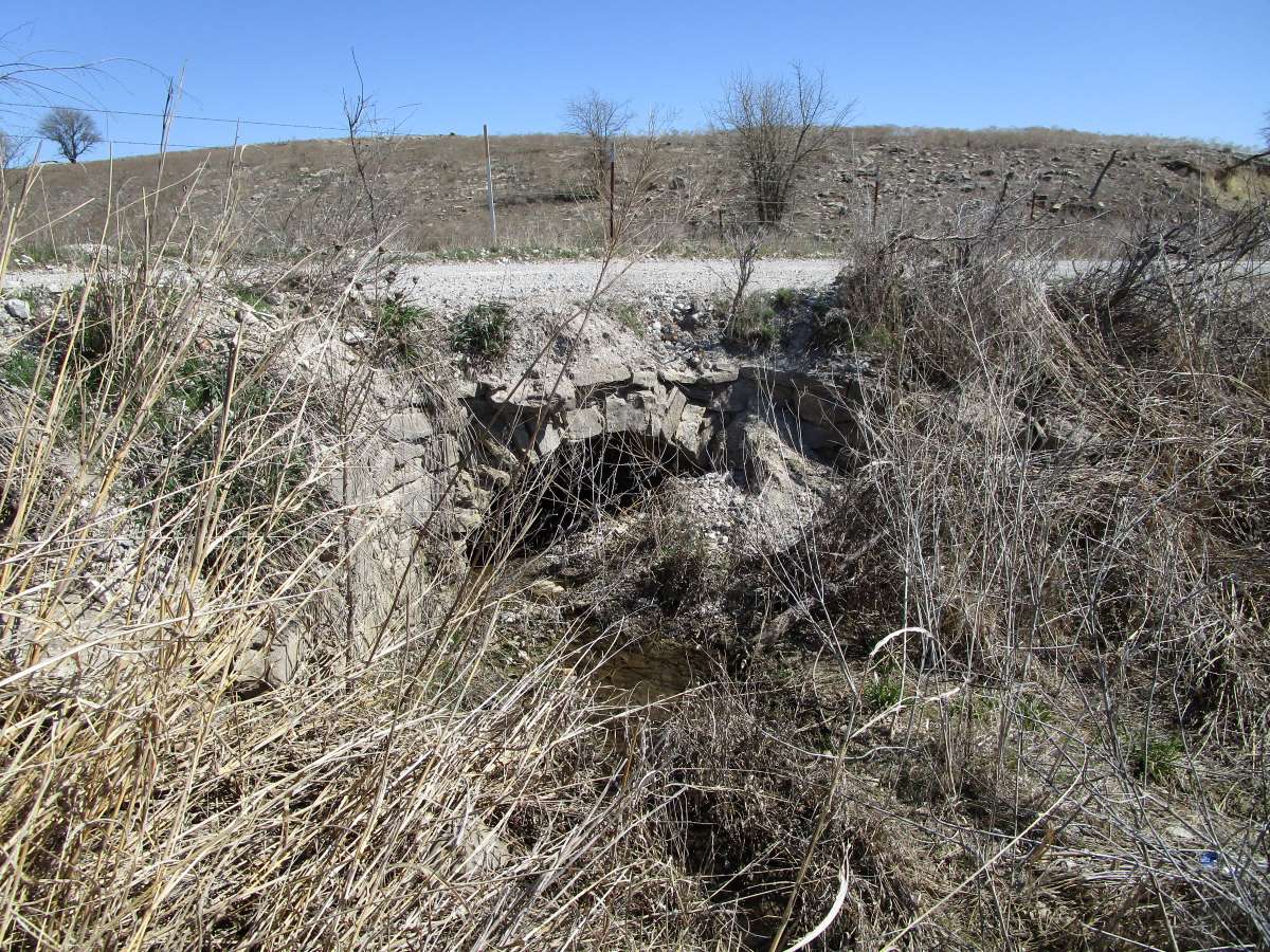
Recently Demolished: # 20, Dexter Township 251st Road Culvert

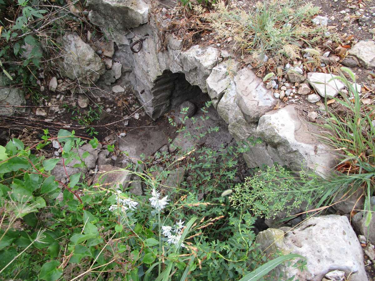
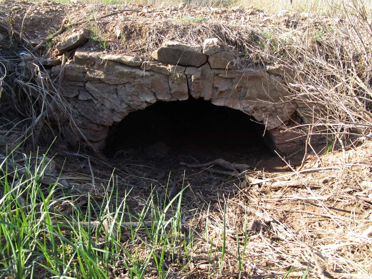
Dexter Township 176th Road Culvert
- Where: Spanning a small channel on 176th Road, a little west of 176th’s intersection with 271st Road, near Dexter.
- Map Number: 21.
- Further Resources: Four More Additions to the Cowley County Stone Bridge List.
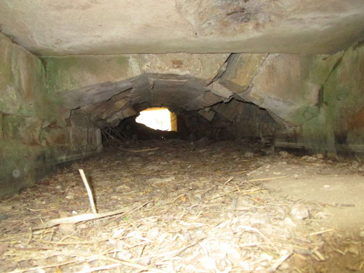
- Note: This culvert appears to be a composite structure; the stone arch is used as a facing for a concrete arch inside.

Dexter Township 271st Road Culvert
- Where: This stone arch culvert is part of a long causeway over a draw. It is located on 271st Road, south of 271st’s intersection with 162nd Road, near Dexter.
- Map Number: 22.
- Further Resources: Four More Additions to the Cowley County Stone Bridge List.
- Note: This culvert appears to be a composite structure; the stone arch is used as a facing for a concrete arch inside.

Dexter Township 251st Road Culvert (2)
- Where: Spanning a small channel on 251st Road just north of 251st’s intersection with 222nd Road, near Dexter.
- Map Number: 23.
- Further Resources: Four More Additions to the Cowley County Stone Bridge List.

Dexter Township 251st Road Culvert (3)
- Where: Spanning a small channel on 251st Road south of 251st’s intersection with 176th Road, near Dexter.
- Map Number: 24.
- Further Resources: Two More Cowley Stone Culverts
- Note: This culvert appears to be a composite structure; the stone arch is used as a facing for a concrete arch inside. This culvert has also been widened with a concrete pipe on one side.
Dexter Township 281st Road Culvert
- Where: Spanning a small channel on a dead-end section of 281st Road, a south of 281st’s intersection with 162nd Road.
- Further Resources: Two More Cowley Stone Culverts
- Map Number: 25.
- Note: This culvert appears to be a composite structure; the stone arch is used as a facing for a concrete arch inside.

Fairview Township 112th Road Culvert
- Where: Spanning a channel on 112th road, east of 112th’s intersection with 111th road; the culvert is a short distance east of where 112th crosses Timber Creek.
- Further Resources: Three Newly Found Cowley County Stone Bridges.
- Map Number: 26.
- Note: This culvert has been widened on one side with what appears to be boiler pieces.
Crooked Creek Bridge
- Where: Spans Crooked Creek on 51st Road, in Ninnescah Township, south of Udall.
- When: 1908.
- Further Resources: Three Newly Found Cowley County Stone Bridges.
- Map Number: 27.
- Note: This culvert has been widened with a modern structure on one side.

Ninnescah Township County Line Culvert
- Where: Spans a small channel in Ninnescah township on the Sumner/Cowley county line road between 72nd and 82nd roads, near Udall.
- When: 1908
- Further Resources: Three Newly Found Cowley County Stone Bridges.
- Map Number: 28.
- Note: This culvert has been widened on one side with a more modern structure. Also, please note that while this culvert is on the Sumner/Cowley county line, it was actually built by Ninnescah Township, Cowley County.

Otter Township Stone Culvert (1)
- Where: Spans a small channel in Otter Township. To reach culvert, turn south on 323rd Road off of Cowley Route 28 (162nd Road). This winding road, after going generally south for over two miles, will make a major turn towards the east. The road continues east for approximately 1/2 a mile or so before heading south again; the culvert is just after the bend where the road continues southward again.
- Further Resources: Two New Additions to the Cowley Bridge List.
- Map Number: 29.
- Note: This culvert has been widened on one side.

Otter Township Stone Culvert (2)
- Where: This culvert is located at the first major eastward bend in the road approximately 1/2 a mile after the Otter Township Stone Culvert (1).
- Further Resources: Two New Additions to the Cowley Bridge List.
- Map Number: 30.
- Note: This culvert has a metal arch liner beneath the stone arch. However, the visible arch stones are laid as for a true, structural arch.

102nd Road Crooked Creek Bridge
- Where: This bridge spans Crooked Creek on 102nd Road, in Ninnescah township, south of Udall.
- Further Resources: A Unique Cowley County Stone Bridge.
- Map Number: 31
- Note: This culvert has been widened on one side.
Windsor Township 102nd Road Culvert
- Where: Spans a gully on 102nd Road, west of 102nd’s intersection with 281st Road.
- Further Resources: A Newly Found Cowley Stone Bridge.
- Map Number: 32.
- Note: This culvert has been widened on one side.

Cedar Township 272nd Road Culvert
- Where: Spans a small stream on a dead-end section of 272nd Road, west of 272nd’s intersection with 345th (county line) road.
- Map Number: 33
- Note: This culvert has been widened on one side.
Cedar Township 292nd Road Culvert (1)
- Where: Spans a small stream on a dead-end section of 292nd Road in eastern Cedar Township; the bridge is on a east-west section of a road that at first goes north off of 296th road, but then makes a ninety degree turn and heads west.
- Map Number: 34.

Cedar Township 292nd Road Culvert (2)
- Where: Spans a small stream on a dead-end section of 292nd Road, just west of the Cedar Township 292nd Road culvert above.
- Map Number: 35.
- Note: This culvert has been widened on one side.
Cedar Township 337th Road Culvert (1)
- Where: Spans a small gully on 337th Road, south of 337th’s intersection with 312th road, not far north of where 337th crosses the Oklahoma border.
- Map Number: 36.

Cedar Township 337th Road Culvert (2)
- Where: Spans a small gully on 337th Road, just south of Cedar Township 337th Road Culvert (1).
- Map Number: 37.

Cedar Township 337th Road Culvert (3)
- Where: Spans a small gully on 337th Road, just south of Cedar Township 337th Road Culvert (2).
- Map Number: 38.
Cedar Township 337th Road Culvert (4)
- Where: Spans a small gully on 337th Road, just south of Cedar Township 337th Road Culvert (3).
- Map Number: 39.
Cedar Township 337th Road Culvert (5)
- Where: Spans a small gully on 337th Road, just south of Cedar Township 337th Road Culvert (4).
- Map Number: 40.

Cedar Township 337th Road Culvert (6)
- Where: Spans a small gully on 337th Road, just south of Cedar Township 337th Road Culvert (5), just north of the Oklahoma border.
- Map Number: 41.

Cedar Township 302nd Road Culvert
- Where: Spans a small stream on 302nd Road, east of 302nd’s intersection with K15.
- Map Number: 42.
Cedar Township 291st Road Culvert (1)
- Where: Spans a small gully on 291st Road, north of 291st’s intersection with 292nd Road.
- Map Number: 43.
- Note: This culvert has been widened on one side.
Cedar Township 291st Road Culvert (2)
- Where: Spans a small stream on a dead-end section of 291st Road, south of 291st’s intersection with US 166.
- Map Number: 44.

Grant Township 261st Road Culvert
- Where: Spans a small stream on 261st Road, south of 261st’s intersection with US 166.
- Map Number: 45.
- Note: This culvert has been widened on one side.
Grant Township 292nd Road Culvert
- Where: Spans a small channel on 292nd Road in Grant Township near the township line west of 292nd’s intersection with 241st Road.
- Map Number: 46.
Grant Township 251st Road Culvert
- Where: Spans a small gully in Grant Township on 251st Road, a short ways south of 251st’s intersection with 282nd Road.
- Map Number: 47.

Spring Creek Township 231st Road Culvert
- Where: Spans a minuscule ditch on a jog of 231st Road, north of 231st’s intersection with 322nd Road. Heading north on 231st from the 322nd Road intersection, the road makes a short westwards jog and then heads north again. The culvert is located on this second north-south piece of road, shortly after the westward jog.
- Map Number: 48.
- Note: This culvert has been widened on one side with a culvert pipe (almost filled in as of this writing). The stone arch is on the east side of the road and is very easy to miss; this culvert is very tiny, estimated span one to two feet.

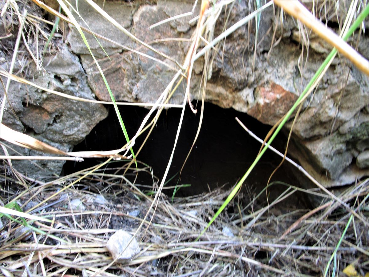
Silverdale Township 266th Road Culvert (1)
- Where: Spans a small ditch on 266th road, a ways west if 266th’s intersection with 135th road.
- Map Number: 49.
- Note: This small culvert has been widened on one side. The readily visible face of the arch is partially collapsed.

Silverdale Township 266th Road Culvert (2)
- Where: Spans a small channel on 266th Road a short distance west of Silverdale Township 266th Road Culvert (1).
- Map Number: 50.
- Note: This culvert has been widened on one side. It is also partially buried.

Dexter Township 182nd Road Culvert (2)
- Where: Spanning a small, normally dry channel on 182nd Road, a little way west of 182nd’s intersection with 291st Road near Dexter.
- Map Number: 51.
- Note: This culvert has been widened on one side with a pipe.
Silverdale Township 266th Road Culvert (3)
- Where: Spans a small ditch under 266th Road, just west of Silverdale Township 266th Road Culvert (2) (see number 50 in the list above.)
- Map Number: 52.
- Note: This little known culvert, which was a chance find, has been widened on both sides and is not easily readily visible. Only the bottom of the arch can be seen, and even that is collapsing.
Bolton Township Culvert
- Where: Spans a small ditch on the edge of the Kaw Wildlife Area south and east of Arkansas City in the area accessed by the 312th Road loop along the Arkansas River.
- Map Number: 53.

Also in Cowley….
Elrod Bridge
- Where: Spans Timber Creek on private property; formerly carried 122nd Road, but this section of road was abandoned.
- When: 1908
- Built By: Walter Sharp.
- Note: This bridge is not visible from the public roads.
Poor Farm Culvert
- Where: Spans a small ditch at the entrance to the former Cowley County poor farm. The entrance is located off of Joel Mack Road, just beyond the Black Crook Creek Bridge (see #13 in the list above.) Private Property.
- Note: The top courses of masonry of this culvert can be seen from the public road, but not the arch.
Horse Creek Bridge
- Where: Spans Horse Creek just to the north west of Grouse Creek Road near Dexter. Private Property.
- When: 1913.
- Built By: Walter Sharp.
- Note: Though on private property, this bridge can readily be seen from the public road.
Private Farmyard Bridge
- Where: Located on a farm in Cowley County.
- When: 1907.
- Built By: Abe Matheney.
- Further Resources: A Unique Cowley County Stone Bridge.
- Note: This bridge was always a private structure; a farmer hired Abe Matheney to build this bridge after the pattern of Cowley’s road bridges. Special thanks to the land owner for allowing us to see this bridge and giving us permission to put this information on the website.
